Rationalising the Main River Network (RMRN) project - demaining complete
The Environment Agency recently reported that the selected watercourses in the pilot locations of Stour Marshes, Kent and the Isle of Axholme, North Lincolnshire have officially changed from main river to ordinary watercourse.
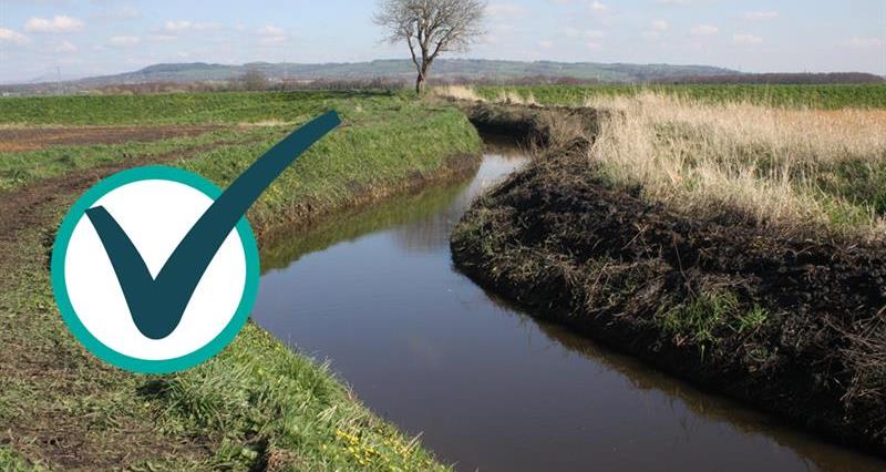
The management of several stretches of low flood risk watercourse has now been transferred to local Internal Drainage Boards (IDBs), including:
- Isle of Axholme, North Lincolnshire – the Isle of Axholme and North Nottinghamshire Water Level Management Board has taken on responsibility for 10.3km of the Snow Sewer Warping Drain, in Owston Ferry, North Lincolnshire as well as the Drain Head Pumping Station.
- Stour Marshes, East Kent – the River Stour (Kent) Internal Drainage Board has taken on responsibility for 10 stretches or approximately 36.5km of low risk watercourse across the Stour Marshes.
The Environment Agency (EA) has made these transfers as a ‘determination’ under section 193C (1) of the Water Resources Act 1991. These determinations represent a formal decision to change the main river map.
By transferring these watercourses to the IDBs, the Environment Agency hopes to be able to focus resources to where they are most needed, while retaining its 'strategic overview of flood risk management, and ensure that the right people are managing the right watercourses and assets in the right places'.
For local communities, who have welcomed the change, this re-designation also represents more choice in how their watercourses will be managed - decisions on watercourse maintenance will now be made at a local level.
Read more: